Images

×


Promotions
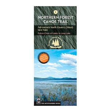
Northern Forest Canoe Trail #1: Adirondack North Country, West: New York - Fulton Chain of Lakes to Long Lake
$12.95
Born from the hand-scribbled trail maps and wilderness passion of its members, Washington's more than 100-year-old Mountaineers Club established the nonprofit Mountaineers Books® in 1960 to express and share its love of nature and the outdoors.

| Description | Price | Qty |
|---|---|---|
979-XMore Info |
$12.95 |