Images

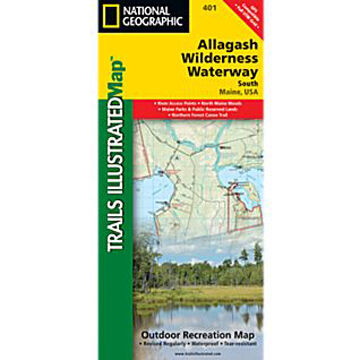
National Geographic Allagsh Wilderness Waterway South Map zoom in
×

Promotions

National Geographic Allagsh Wilderness Waterway South Map

The front side of the Allagash Wilderness Waterway South map details from the southern portion of Eagle Lake to the northwestern edge of Baxter State Park and the northern reaches of Chesuncook Lake. It includes Allagash Lake, Chamberlain Lake, Caucomgomoc Lake, and dozens of other lakes, ponds, brooks, and streams. Chesuncook Lake continues on the back side of the map with the southernmost section of the waterway which includes Caribou Lake, Ragged Lake, Lobster Lake, Seboomook Lake, and Moosehead Lake.

  • Two-sided
  • Waterproof
  • Watercraft regulations
  • Rules for recreational use and access
  • River difficulty scale
  • Checkpoints
  • Visitor and ranger station locations
More »

Maps have been a cornerstone of National Geographic® since they were published in the first issue of the magazine, in October 1888. The year 1915 witnessed the founding of the Map Department, which evolved into today’s National Geographic Maps®.

Whether you're dreaming of places, planning a holiday or hike, or learning about the world, National Geopgraphic® offers hundres of Travel, Trail and Wall maps to guide your exploration.

Description Price Qty

401

More Info
$14.95