Images

×


Promotions
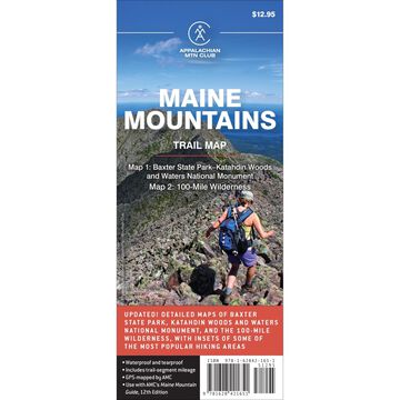
Maine Mountains Trail Map 1-2: Baxter State Park-Katahdin Woods Waters National Monument & 100-Mile Wilderness
$12.95

AMC® Books are written and published by experts in the Northeast outdoors. Our mission is to publish authoritative, accurate, and easy-to-use books and maps based on the Appalachian Mountain Club's expertise in outdoor recreation, education, and conservation.
AMC Books' core publications appeal to novices and day visitors as well as outdoor enthusiasts in the activity areas of hiking and paddling, and helping kids and families enjoy the outdoors. We work with the best professional writers possible and draw upon the experience of our programs staff and chapter leaders.
| Description | Price | Qty |
|---|---|---|
1628421651More Info |
$12.95 |