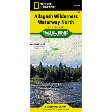
The Allagash Wilderness Waterway is a majestic 92-mile-long ribbon of rivers, lakes, ponds, and streams that winds its way through the heart of the North Maine Woods. National Geographic's Trails Illustrated map of Allagash Wilderness Waterway North is designed to meet the needs of outdoor enthusiasts by combining valuable information with unmatched detail of this popular recreation area. A full UTM grid is printed on the map to aid with GPS navigation.
Whether paddling the Northern Forest Canoe Trail, camping in the North Maine Woods, or driving the Maine Scenic Byway, this map performs as a highly functional travel tool that is as useful as it is remarkably crafted. The map base includes contour lines, shaded relief, and elevations for summits and many lakes. Recreation features are clearly marked, including picnic areas, trailheads, RV camping, primitive campsites, canoe carry downs, and boat launches. This map is loaded with valuable information such as watercraft regulations, rules for recreational use and access, river difficulty scale, checkpoints, visitor and ranger station locations, and more.
- Printed on waterproof, tear-resistant material with a plastic coating for extreme durability
- Topographic Map
- Approx. 4.25" x 9.25" folded
- Approx. 37.75" x 25.5" fully opened
- Scale = 1:63,360
- Copyright Date: 2020
ISBN: 9781566955867
More »