The 740-mile water trail links the watersheds of northern New York, Vermont, Quebec, New Hampshire, and Maine, following Native American travel routes through the rivers of this region.
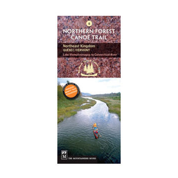
Paddlers will make their way across Lake Memphremagog (beginning in Quebec) and follow the Clyde and Nulhegan Rivers to the Connecticut River (60 miles total). This is the Northeast Kingdom, a high, cold corner of Vermont whose granite hills remain sparsely settled. Watch for moose, imagine you're one of the rum runners who once used this crossing from Canada, investigate the remains of the old Clyde River Dam which was dismantled to restore salmon habitat, or simply soak in this native homeland of the Western Abenaki, which is now undergoing revitalization.
- Official Northern Forest Canoe Trail maps, produced by organization that conceived, coordinated and developed them
- NFCT flows through New York, Vermont, Quebec, New Hampshire and Maine
- Maps include put-in points, portages, campsites, local contact information and permit guidelines
- Water- and tear-resistent color contour maps offer detailed route descriptions
- 2 pages
- Dimensions: 9.5"H x 4"W
ISBN: 9780898869989
More »